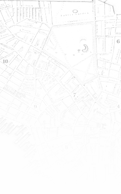
 CowpathsThe geospatial mapping tool developed for the Boston Streets project has been dubbed "Cowpaths," after the urban legend that the streets of Boston were laid out over the paths cows used to walk when the city was young and now accounts for their general disorder and "crookedness." While this story is certainly not true, it can still be difficult to follow the trails of people and the growth of the city though the available resources, and so Cowpaths was created to help chart a course through the resources and place them in a context of time and space. Cowpaths is a map-based tool for discovering image and directory information and then plotting it on a map. You can also discover names, occupations, and images in Cowpaths and find them in the directories and images in the Tufts Digital Library or at the Bostonian Society. Cowpaths allows users to define their own data layers, query the data and have their results mapped on any number of historical maps. Learn more about how Cowpaths works and how to use it in an illustrated Primer Explore
the paths right away (opens in a new window). |
 |
 |

|