Cowpaths toggle
Moments toggle
People toggle
Places toggle

About Places: Boston city atlases

Browse all Boston city atlases
(Using the Tufts Digital Library)

Browse a specific Boston city atlas:

About toggle

Boston Atlases

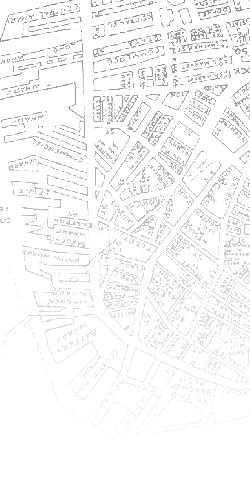
There are three Boston City Atlases available on line through the Tufts Digital Library.

Atlas of the county of Suffolk, Massachusetts. Volume 1. Boston proper
Published by G.M. Hopkins of Philadelphia, Pennsylvania
G.M.Hopkins & Co.1873-1875. This atlas contains 26 hand colored plates plus an index map covering the Shawmut peninsula and extending into the Back Bay.

Atlas of the City of Boston. from actual surveys and official plans. Boston proper and Back Bay
Published by G. W. Bromley & Co., 1898. Thirty two hand colored plates extending as far as the Back Bay Fens.
Atlas of the city of Boston. Boston Proper and Back Bay from actual surveys and official plans. Atlas of the City of Boston
Published by G. W. Bromley & Co., 1928. Thirty six hand colored plates, plus title page, street index, and overview map.